

Measuring the Ocean in the High North
Roberta Ivaldi
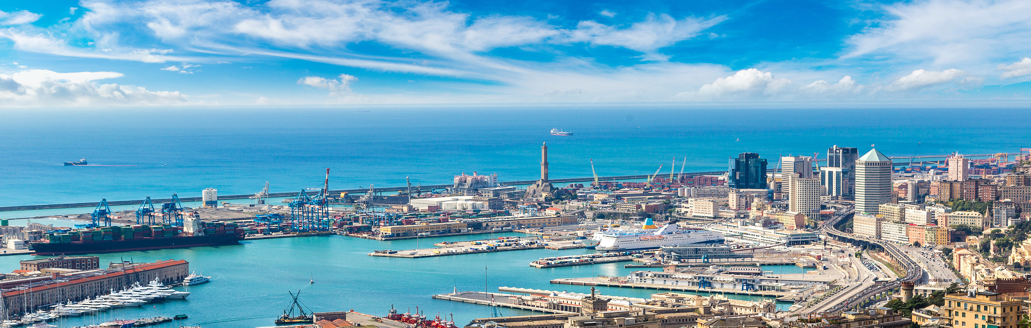
Italian Hydrographic Institute
ABSTRACT
In 2017, in line with the National Strategy for the Arctic, the Italian Navy – acting as national marine focal point for Arctic research activities – with the scientific support of the Italian Hydrographic Institute, launched the Pluriannual Joint Research Program 2017-2019, named High North. The aim of this program is to contribute to Oceans’ knowledge, collecting marine data in a very sensitive, fragile and remote area subjected to rapid changes. Five are the main benchmarks of the Program: ocean knowledge, exploration, new technology, education and monitoring, with different activities such as bottom mapping, water column & seabed features, sub-bottom profiling, acoustic imaging, optical imaging and ocean remote sensing. These have been carried out – mainly – in unsurveyed areas and up to the Arctic ice edge. To these, we should add a seventh activity, observation, which will modify the mapping of the surveyed areas from three dimensions to four dimensions. The Arctic Marine Geophysical Campaigns (High North17 and High North18) are the core of this pluriannual program. We present the preliminary results of these marine geophysical cruises, collected using several platforms from satellite to subbottom. The research activities have been focused on the Yermak Plateau, Eastern Fram Strait and the Western Svalbard, taking place also at the arctic sea ice up to latitude 82° N, to test new integrated technologies. In particular, the exploration has been the key element of the High North 18 campaign, due to the extensive unsurveyed areas that were covered in this campaign and will be covered during the next. The loss of sea ice and the melting ice have created new open water easier to survey and explore. The collection of new hydro-oceanographic data will also improve knowledge of Arctic depths and water masses, leading to new models of seabed mapping and water mass circulation. All these new data will be shared with Norwegian Hydrographic Office for the update of the official nautical documents, and with General Bathymetric Chart of the Oceans – International Bathymetric Chart of the Arctic Ocean (GEBCO IBCAO) and GEBCO Seabed 2030 for increasing the knowledge of the High North.
SPEAKER BIO
Roberta Ivaldi, PhD degree in Environmental Science, Sea Science, (Trieste University, 1997) and MSc degree in Geological Science (Genoa University, 1993), has been Associate Professor in Marine Geology at the Italian Hydrographic Institute since 2008, member of GEBCO - SCUFN (General Bathymetric Chart of the Oceans - Sub Committee on Undersea Feature Names) as IHO (International Hydrographic Organization) representative since 2016, member of the “Tavolo Artico” of Ministry of Foreign Affairs and International Cooperation as It Navy representative since 2016, member of the GEBCO - IBCAO (General Bathymetric Chart of the Oceans - International Bathymetric Chart of the Arctic Ocean) Editorial Board since 2018. She participated in several oceanographic cruises and research activities in the Mediterranean Sea, Northern Atlantic, Antarctica and Arctic. Last two summers she was the scientist in charge (SIC) of the Arctic Marine Geophysical Campaign High North17 and High North18 in the aim of IT Navy High North Research Program. Her research focuses on 3D integrated mapping, seabed mapping, high resolution seismic stratigraphy, physical - mechanical properties and microstructures of sediments.