"THEORY + DO IT YOURSELF" SESSION
Tutorial on SAR remote sensing of coastal areas
Ferdinando Nunziata
Università di Napoli Parthenope
TOPIC OVERVIEW
The Ocean Decade (2021–2030) is to support scientific research and technological developments that can contribute to the conservation and sustainable management of the world’s oceans. Fulfilling this goal will require data, knowledge, and technology. The use of remote sensing is now established in marine research and management and is crucial in developing our understanding of ocean patterns and processes at multiple spatial and temporal scales. Hence, remote sensing technology is expected to play a critical role in achieving the vision set by the Ocean Decade.
This tutorial is to describe the leading-edge methodologies and the underpinning physical rationale to generate added-value products for coastal area applications from remotely sensed measurements acquired by the Synthetic Aperture Radar (SAR). The tutorial is based on lectures on selected topics along with “Do it yourself” sessions where practicing on actual SAR measurements.
The detailed content is structured as follows:
Part I. Remote sensing - 2h
- Theory: Orbits, Earth Observation using the EM spectrum, Sensors, Resolution, Data processing, Permanent calls to grant Remote sensing data free of charge.
- Practice: observing and discussing selected radar and optical data acquired over the same area.
Part II. SAR observation of coastal areas - 2h
- Theory: SAR basics, SAR products, observables, expected behavior of SAR observables over sea surface, Bragg scattering and modeling
- Practice: discussing the behavior of SAR observables over sea surface using actual multi-polarization SAR imagery
Part III. Added-value products for coastal area applications – 2h
- Marine pollution (theory + practice)
i. Sea surface scattering and damping
ii. Sorting out oil pollutants from look-alikes using polarization diversity
iii. Hints on the observation of aggregated plastic at sea - Vessels (theory + practice)
i. Sea surface scattering anomalies related to marine vessels
ii. Multi-polarization observation of marine vessels
iii. Relating ships to their wakes - Shoreline (theory + practice)
i. Enhancing land/sea contrast
ii. Multi-polarization analysis
iii. Extracting the continuous coastline
TOPIC OVERVIEW
The intended audience consists of students (both at MSc and PhD levels) and researchers involved in coastal area applications. The audience is expected to have basic knowledge of remote sensing and familiarity with Matlab. The topics will be addressed by accompanying theoretical aspects (SAR/PolSAR imaging of ocean surface, scattering, target decomposition theorems, polarimetric features) with practicing on real SAR data to: a) show the potentialities of SAR remote sensing of coastal areas to the beginners of SAR who are familiar with coastal applications; b) show the benefits of model-based processing and multi-pol information to address coastal applications in an effective and robust way to SAR users. In addition, contrasting model’s predictions with actual features extracted from SAR imagery is expected to improve the effectiveness of the tutorial in demonstrating the benefits of SAR observation of coastal areas. To improve the spreading of SAR imagery within the ocean’s community, several permanent “announcement opportunity” issued by world-wide space agencies to get free-of-charge SAR products will be advertised to the audience.
FORMAT
The full-day tutorial is scheduled on 5 October. Attendees are expected to use their own laptop which is expected to be be equipped with Matlab.
It us suggested to download the free available SNAP toolbox (https://step.esa.int/main/download/snap-download/). The presenter will provide to the attendees free-available multi-pol SAR imagery to use in the practice sessions. Those data are publicly available and free-of-charge.
The material can be downloaded joining the LinkedIn group “IEEE OES Ocean Remote Sensing Technology Commitee”:
https://www.linkedin.com/groups/9381283/
SPEAKER BIOGRAPHY
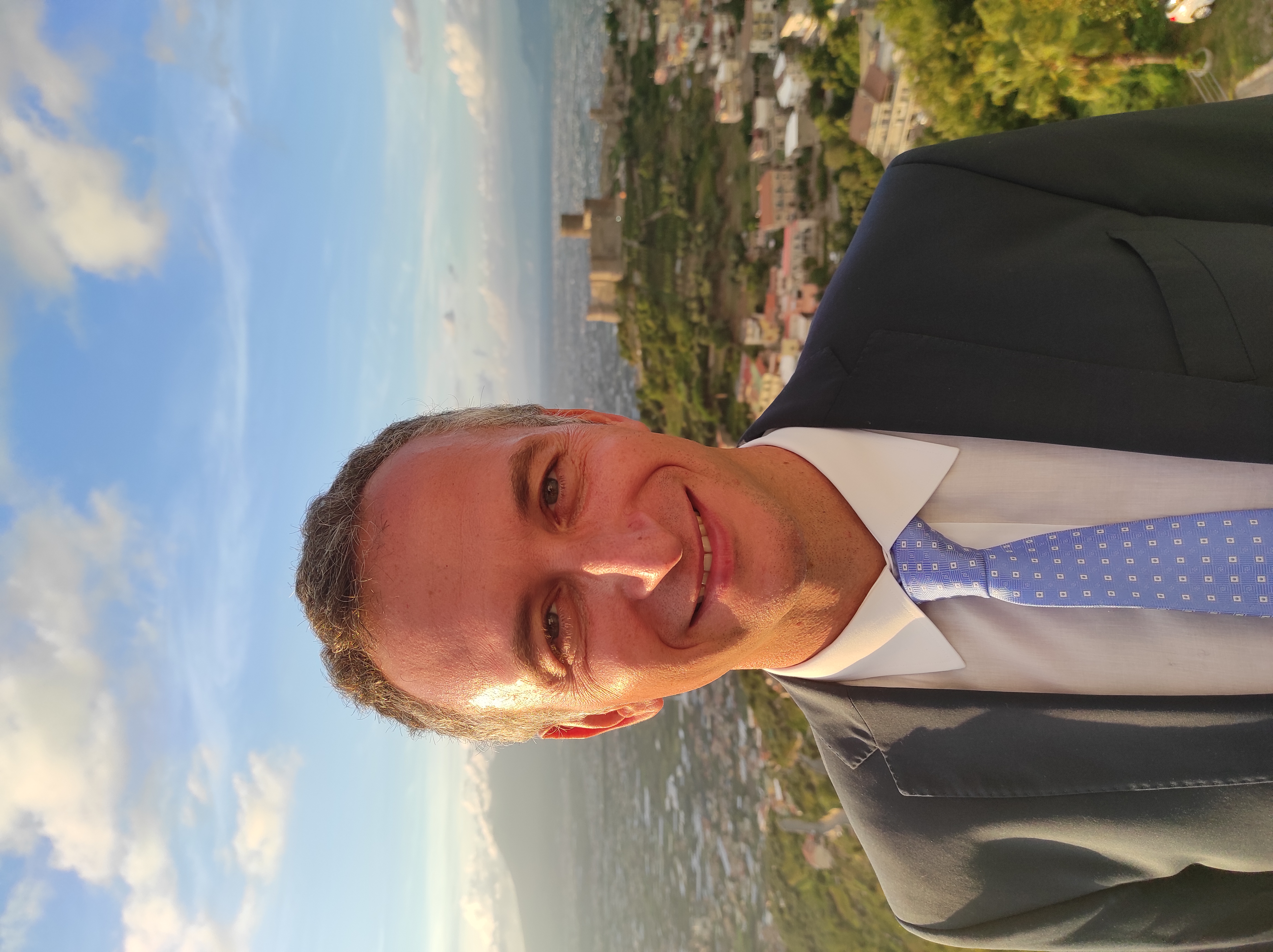
Ferdinando Nunziata is a Telecommunication engineer.
Since 2018, he has been Associate professor in electromagnetic fields with the Università degli Studi di Napoli “Parthenope”. From 2010 to 2018, he was Assistant professor in electromagnetic fields with the Università degli Studi di Napoli “Parthenope”.
He is the author/coauthor of more than 100 peer-reviewed journal papers on microwave remote sensing, covering both theoretical aspects (e.g.; multi-polarization scattering from rough surfaces, radar polarimetry, bistatic scattering, inverse problems) and applications (e.g.; marine and maritime applications) His expertise includes both active (SAR) and passive (radiometer) microwave instruments.
Dr. Nunziata has been IEEE Senior Member since 2014 and he has been in the organizing committee of several conferences focused on remote sensing. He serves as Associate Editor for the scientific journals “IEEE JSTARS” and “MDPI Remote Sensing”. Since 2022 he has been Chair of the OES Ocean Remote sensing TC and he has been OES Distinguished Lecturer with topics related to microwave remote sensing for coastal area applications. Since 2023 he has been Chair of the IEEE Geoscience and Remote Sensing South Italy Chapter.
